Travelling and exploring places was something I wanted to always do in my leisure time. But now it’s not just traveling or a mere hobby after visiting Himalayas, it’s a journey and an experience to write and share.
The Himalayas were beckoning me as it was first ever snow trek for me and 12 of us involving myself are travelling together (Pramod, Sunil, Vasu, Sudhee, Bhargava, Shivu, Rashmi, Krupa, Mahesh,Veena and Supreeth). The grandeur of Himalayas was always fascinating for me which I had only read or seen on television. Our team chose the batch which was starting in December reason being we wanted to experience the extreme cold weather at boundless Himalayas as we are so equipped to stay in normal climatic conditions.
 |
| Local boy spending his time under pine trees !! |
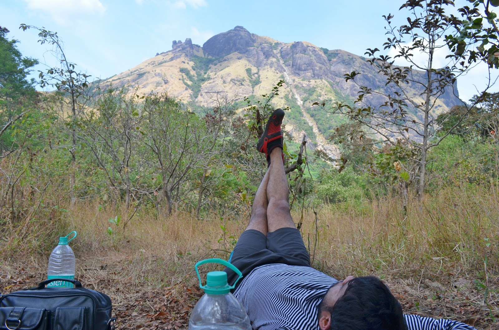
This is how we started our fun filled preparations in the 1st week of September 2016.With help of my team members we booked online at YHAI website, for the Kedarkantha Trek and managed to get booking for reporting date of 18th December, 2016.To add more fun to this trip two more friends Akhil from Belgaum and Karthik from Hubli also joined us in Mussorie base camp. Western Garhwal Himalayas (Located in Uttarakashi district of Uttarakhand) are famous for being hot-blooded in nature and so we were prepared for it, but no one had expected there will be no snowfall during our trek (The pics will tell you more).We managed with hard frozen snow throughout our journey starting from Sankri base camp untill we reached summit. At some point of time I thought our summit could potentially fail but Mother Nature had something else for this. We heard it from our next batch that it snowed beautifully in base camp. It made us go in our deep thoughts that we could only imagine the snow falls.
About Uttarakhand (now that touched my heart with its beauty and diversity)
Trekking in Uttarakhand is always a pleasure due to its ravishing beauty and panoramic natural views that cannot be matched with any other destinations within the country. Its peaks and valleys were well known in ancient times as the abode of gods and goddesses and source of the Ganges River. Today, it is often called "the Land of the Gods" (Dev Bhoomi) and “World of piligrimage” because of the presence of a multitude of Hindu (Gangotri,Yamunotri,Kedarnath,Badrinath,Haridwar and Rishikesh) and Sikh (Hemkund Sahib) pilgrimage spots. Uttarakhand is known as Dev Bhoomi from ancient times. Gangotri and Yamunotri, the sources of the Ganges and Yamuna, dedicated to Ganga and Yamuna respectively, fall in the upper reaches of the state and together with Badrinath (dedicated to Vishnu) and Kedarnath (dedicated to Shiva) form the Chota Char Dham, one of Hinduism's most spiritual and auspicious pilgrimage circuits. Haridwar, meaning "Gateway to the God", is a prime Hindu destination. Haridwar hosts the Kumbha Mela every twelve years, in which millions of pilgrims take part from all parts of India and the world. Rishikesh near Haridwar is known as the preeminent yoga center of India.
 |
| Ur's truly at the banks of Tons river 😊 |
Uttarakhand has a great diversity of flora and fauna. Uttarakhand is home to rare species of plants and animals, many of which are protected by sanctuaries and reserves. National parks in Uttarakhand include the Jim Corbett National Park (the oldest national park of India), Valley of Flowers National Park and Nanda Devi National Park in Chamoli District, which together are a UNESCO World Heritage Site. A number of plant species in the valley are internationally threatened, including several that have not been recorded from elsewhere in Uttarakhand. Rajaji National Park in Haridwar District and Govind Pashu Vihar National Park and Sanctuary and Gangotri National Park in Uttarkashi District are some other protected areas in the state.
About Program (Kedarkantha)
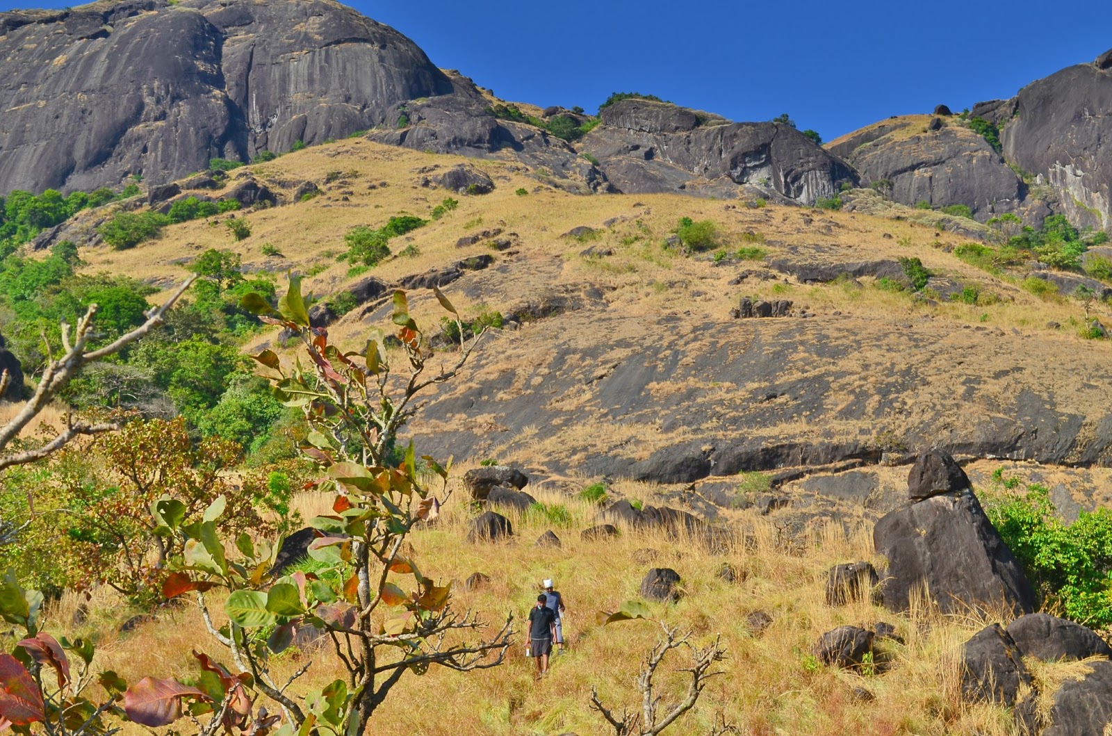
Kedarkantha Trek lies in the Govind Wild life Sanctuary and National Park in Uttarkashi district of Uttarakhand. The most amazing and exciting part to the journey of Kedarkantha is the fascinating locations and thrilling trekking sites available is the snow treks of Kedarkantha which inspires every trekker to go and experience it again and again. The very first reason is the availability of snow till the end of April making it one of the best winter trek destination of all. Another beauty of this trekking trail is that it starts from dense pine forest where one can begin the trekking trail walking over the bed brown dried leaves creating a exceptional experience and a splendid view that is absolutely supreme. To brief it the trekking tour promises is refreshing and the heart filled pleasure makes the destination so attractive to the visitors who want to experience something different be it in any part of the year.
 |
| Sunrise View from the Kedarakantha Peak. |
Add to that one can view the majestic peaks of Swargarohini, Bandarpoonch and Kala Nag from a close range for ages, the land has been known for temples and shrines with sacred mythological attachments. Swargarohini derives it names from the Legends associated with that it peaks forms the path to heaven that was followed by Pandavas, But only One Pandava (Yudhishthira) and A Dog had reached to Heaven. According to Legends it is believed that is the only way one can go to heaven with the human body itself.
 |
The Mighty snow capped Swargarohini,Swargarohini derives it names from the Legends associated with that it peaks forms the path to heaven that was followed by Pandavas.
|
# Mussorie to Sankri Base camp Drive (altitude of 6500 feet).
We travelled through the Yamuna and Tons valleys across the Kempty water falls, Yamuna bridge, Nainbagh, Nowgaon, Purola, Jarmola (Jarmola is one of the biggest and most beautiful pine forests in Asia), Mori and Naitwar and reached Sankri after a picturesque uphill drive through the mountains. The road follows Tons river till Netwar where Rupin and Supin River merge to form this river. The Tons River is the largest tributary of the River Yamuna.
 |
| Bhargava clicking a pic at Yamuna river Valley. |
Sankri a tiny market village located in the northeastern part of Uttarakhand starting from close to the Himachal border, heading east and then south. Sankri is the gateway to the almost untouched Har-ki-dun (3566m) with the Swargarohini Peak (6096m) towering above it in the backdrop. Overnight was Sankri base camp tents.
# Sankri Base Camp to Juda Talab (altitude of 9100 feet)
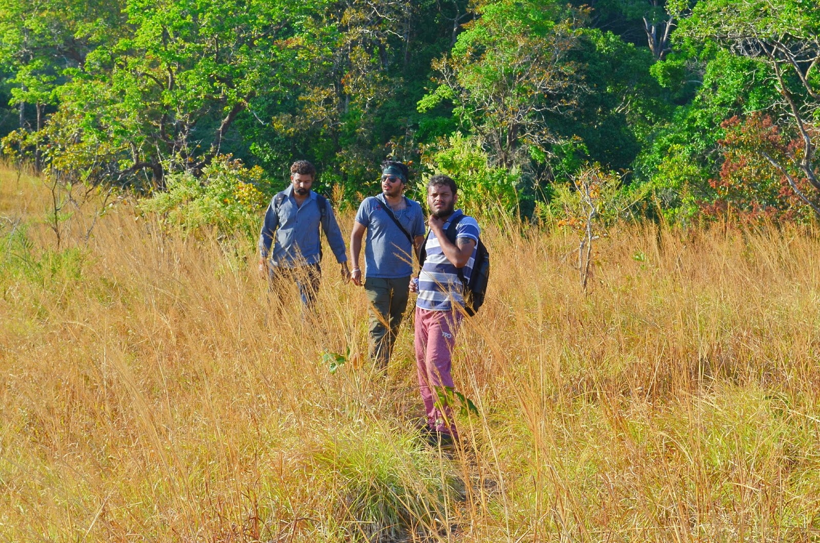
It’s a 4km hiking passage and the approximate time for getting the same is around 4 to 5 hours. After packing the backpack we started off the trail and left the extra baggage at Sankri. The beginning of the trek is marked by the virgin dense pine forest. That was full of tall standing pines and maples. The trail offers an amazing view of some Himalayan peaks, the peak Swargarohini can be seen lit up by the sun west of the Gangotri group of peaks. One can feel the breathlessness as we were ascending to the top. During the trail we could hear the sounds of running streams all through but may not be in view. On the way up one can also sight Himalayan langurs, though they are a bit shy animal it’s hard to get a picture from our advanced lens as they move very quickly in just a glimpse.
 |
| At Juda kaa Talaab with my fellow Trekker 😎 |
“Juda ka Talab” is almost too perfect for setting up a camp site. The landscape comprises the semi frozen lake and dense pine forest that light hardly gets through. The area is entirely in shadow and one of the thickest pine forest you have ever seen. The story behind the ‘Juda ka Talaab’ is juda hua talaab, i.e there are two lakes, one is beautiful semi frozen lake that we see and other one 100 ft below to that. They apparently joined at some point of time. We have seen first pieces frozen snow near the camp and expected to see lot more up ahead. Overnight sleep is arranged in tents close Juda ka talaab.
# Juda ka Talab to (Lahasu) Kedarkantha base camp (altitude of 10250 feet approx.)
After clicking lots of photographs we started walking further up towards Kedarkantha base camp. The base camp offered a spectacular panoramic view of the Gangotri ranges. We made friends with some mountain dogs and they followed until we reach the summit. It was our 3rd day, this stretch of trail is less in distance to be concealed approximately 3 km hike which we completed in about 3 hours with couple of long halts to re-energize the body and get the fascinating view of surroundings. On one side we could see Kedarkantha peak, on the other side it opened to huge valley.
 |
| Semi Frozen stream near base camp 👌 |
The evening sky is equally beautiful with glowing stars and shining planets ornamenting the moon. As the night grows the sight becomes more charming with the Milky Way stretching from one end to the other, the dense network of stars and glistening peak. One of my fellow trekker Thirth Sangoi educated us about stars multiplied with such a huge count i.e. Galaxy, Milky Ways, Nebula, Mercury, Venus and pole star.
# Kedarkantha base camp (Lahusu) to Summit Kedarkantha (altitude of 12500 feet approx.); Descend to Argaon Camp.
The fourth day of trek was predestined to reach Kedarkantha summit and descend to Argaon camp. In our conversations with Hari Prasad, our camp leader on the previous day, it was decided that we would start 3 am from campsite next morning. The tea would be served at 2 am and by 3am would be the breakfast time.
 |
| A mesmerizing view just before sunrise at Kedarakantha Top. |
The first hour of the hike takes you through dense Oak forest but as you climb further the forest recedes. A majestic 360 degree view of the Himalayas waits at the summit. In the southerly direction you can see the wide valleys sloping down. A number of high peaks in Gangotri and Yamuntri ranges can be seen towards the north. Today will be an amazing day, so after early on breakfast hike up to the summit and enjoy the enthralling Himalayan peaks.
We left for our target at 3am, it was dawn with semi snow-covered mountains around us, shining elegantly in the light of dazzling stars. We had taken out our torches and wind was so cold that it seemed to tear my cheeks. Everything around me was so wonderful. We were told by our camp leader that we would be fortunate if we reach to the destination before sunrise because the view of sunrise from Kedarkantha peak is delightful. We had many stops and breaks time to time since one of our fellow trekker was not feeling well due to mountain illness that usually takes place due to continuous hiking. With all the fun and people around it wasn’t as troublesome as it seemed to be since achievement of such trek lies in teamwork and each one has to look after other members. Just before getting to Kedarkantha peak the fascinating views of arc shaped range of snow clapped mountains comprising of Bandarpoonch, Swargarohini and Kala Nag standing out proudly showcasing their splendor. And finally, after a wonderful trek of about 3 odd hours, we reached at the peak just at sunrise.
 |
| Sun rays entering in between the Himalayan peaks😅 |
“Does anyone know meaning of “biting cold”? ohh my god !! I didn’t know it, until I felt it at the top of the peak. It was very challenging to remove my gloves, even for clicking a pic. I had imagined at this point of time drinking water in water bottles could turn into ice. The 360 degree view from the Kedarkantha peak was simply unbelievable, phenomenal, astonishing and I wish to add more and more adjectives to describe the magnificence of snow-mountains. We had spent about 2 hours at the peak snapping pics, making videos, adoring the beauty of Himalayas.
 |
| Mejestic Gangotri and Yamunotri ranges right behind us(Akhil,Vasu,Sunil and myself ) and we enjoying panoramic view of kedarakantha peak 💗 |
After spending ample time at the summit, we were ready for snow-descending. Yes, SNOW-SLIDE!! Regrettably there was not enough snowfall during our trail, everyone felt little sad about that. It was slight discouraging situation for me descending down without sliding over snow. Our guides and other localities told there was no enough rain during this year monsoon that was the reason behind no snowfall even in last week of December. As I said before we heard it from our next batch that it snowed charmingly in base camp. Nevertheless we had completed our summit, fruitfully to have sweetened daydreams of the marvelous peak.
 |
| @Kedarakantha Summit with our guide Mannu A.K.A Niel Nitin Mukesh |
It took 2 hours to descend Kedarkantha peak to base camp, had yummy lunch at base camp started further downhill towards Argaon basecamp.
 |
| Pramod and me @Summit |
# Argaon Camp to Sankri Base Camp.
Descend is more painful and straining since the body is too tired after a hiking. We experienced pain in our thighs and knees. As we headed towards Sankri, the more we were getting away from snow-capped peaks. While coming down Sunil (He loves Birds) explained us about Himalayan and other birds how they live and how intelligent they are and we have sighted few Himalayan babblers. Sunil, Pramod, Akhil, Karthik and myself had a lot of talk on travelling and related stuff. Well after reaching the last base camp we were satisfied and there was an internal happiness to have experience such a beautiful journey. We hired a local bus and reached back to Mussorie.
 |
| Team with guides Mannu and Manmohan. |
# Mussorie, Dehradun, Rishikesh to Delhi.
Next day we had train in Dehradun in the late evening, Mean time we decided to visit Rishikesh and Haridwar. Reached Rishikesh after about one hour bus journey.Rishikesh, sometimes nicknamed "Yoga Capital of the World", has numerous yoga centers that attract tourists. It is believed that meditation in Rishikesh brings one closer to attainment of moksha similar to a dip in the holy river that flows through it. Due to time constraint we had decided not to go Haridwar also because it was pouring crazily and there were hailstorm (Common in Himalayan Foot hills). But Karthik and Akhil managed to visit Haridwar as they had one extra day to spend in Dehradun.
 |
| Laksman kaa Jhulaa @Rishikesh |
By 11:30pm we got ‘Nandadevi Express’ to Delhi and left for Dehradun. In Delhi I was craving for some south Indian food to energize the taste buds after 8 long days. After a long walk Vasu, Pramod, Sudhee, Bharath Myself succeeded to find Andhra Bhavan in Ashoka Road, New Delhi and had a mouthwatering meal.
 |
| Team Karnataka at the Triveni Ghat is the famous tourist spot is Rishikesh.It is the biggest and most famous ghat in Rishikesh at the banks of Ganges. |
 |
| @India Gate,Delhi |
At last left Delhi by capturing so many memories and happy moments that would remain with me wherever I am.Last but not the least this trip would be incomplete without the humor of Sunil and Sudhee. Sunil lead us as a leader and Sudhee made us laugh all through the trip. Also the guides who came along with us and guiding us so well so that we reach our destination.
P.S --> Our group was fourth YHAI Kedarkantha batch which counted
in 45 individuals and named squad as KK4 Team. I had a wonderful time. We'll
never forget this trek through these spectacular mountains in no small part,
and many thanks to KK - 4 team who made this trek memorable. Special Thanks to
Bharadwaj sir for sharing your experiences.
 |
| KK - 4 Batch @Summit |